







About Palmdale
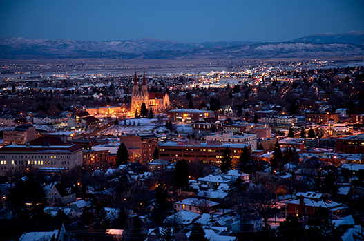
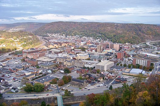
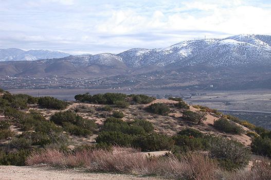
Palmdale is a suburban city in northern Los Angeles County, California, United States. The city lies in the Antelope Valley of Southern California. The San Gabriel Mountains separate Palmdale from the Los Angeles Basin to the south.
Places to visit in Palmdale
-

Antelope Valley California Poppy Reserve
Nature · 19 mi from centreWest of Lancaster, rolling hills turn orange with California poppies in good wildflower years, and trails let visitors walk through the blooms in spring. Bloom timing varies each year.
-
Devil's Punchbowl Natural Area
NatureA dramatic canyon of steeply tilted sandstone shaped by the San Andreas Fault system, with a short loop trail and longer hikes into the surrounding foothills.
-

Vasquez Rocks Natural Area
Nature · 13 mi from centreSharply angled sandstone formations that have appeared in many films and TV shows, with easy trails and scrambling for sweeping views over the high desert.
-
Joe Davies Heritage Airpark
MuseumAn outdoor display of historic military and experimental aircraft tied to the region's aerospace testing legacy, close to the Palmdale plant facilities. It is a quick, free stop for aviation fans passing through Palmdale.
-

Saddleback Butte State Park
Nature · 19 mi from centreJoshua tree woodland surrounding a granite butte east of Lancaster, with a summit trail offering big desert views and good spring wildflower displays. Its campground suits stargazers.
Best time to visit Palmdale
Based on recent weather records, the most comfortable time to visit Palmdale is April to May and October, when average daytime highs are around 70–80°F and rain falls on about 2 days a month.
Average daily low and high temperatures and days with at least 1 mm of rain, from recent weather records. Highlighted months are the most comfortable for sightseeing.
Palmdale weather forecast
- Wed 21 Oct 73° 50° 57%
- Thu 22 Oct 63° 55° 85%
- Fri 23 Oct 66° 53° 1%
- Sat 24 Oct 71° 57° 0%
- Sun 25 Oct 74° 60° 0%
- Mon 26 Oct 75° 62° 1%
Know before you go
- Currency
- United States dollar (USD)
- Language
- English
- Calling code
- +1
- Driving
- On the right
- Time zone
- America/Los_AngelesUTC−7
- Capital
- Washington, D.C.
Upcoming public holidays in United States
- Veterans Day
- Thanksgiving Day
- Christmas Day
- New Year's Day
- Martin Luther King, Jr. Day
- Presidents DayWashington's Birthday
Banks, offices and some attractions may close on public holidays, and flights and hotels often fill up early around them.
Getting to Palmdale
These are the airports closest to central Palmdale. Compare fares into each one, as a slightly longer transfer can sometimes mean a much cheaper flight.
- PMD LA/Palmdale Regional Airport4 mi (6 km) from the city centre
Getting around Palmdale
Palmdale has a local city bus system, operated by the Antelope Valley Transit Authority. These buses operate on most major thoroughfares throughout the metropolitan area and arrive on average of every 15 to 20 minutes. There are 2 major transfer centers in the city for switching bus lines, one at the Antelope Valley Mall and the primary one at the Palmdale Transportation Center. Santa Clarita Transit is the nearby city of Santa Clarita's public bus system and it offers connecting bus service from the PTC as well.
By taxi
Palmdale has taxi services by several companies. However, these taxis must always be called ahead of time, they are rarely in a position to be flagged down like in New York City or Los Angeles. If you plan on using a taxi service when arriving at Palmdale Regional Airport, there is a pay phone in the terminal that can be used to call them.
By car
Palmdale has most of the major rental car companies present. If arriving at Palmdale Regional Airport, there is a phone available to contact the rental car companies. The rental car companies do not have lots on the airport site, but they will come and pick you up from the airport and take you to the rental car facility. They will also likewise return you to the airport in the same manner.
Palmdale travel FAQ
When is the best time to visit Palmdale?
Based on recent weather records, the most comfortable time to visit Palmdale is April to May and October, when average daytime highs are around 70–80°F and rain falls on about 2 days a month.
What is the weather like in Palmdale?
July is usually the warmest month in Palmdale, with average highs of 95°F (35°C). January is the coolest, with average lows of 38°F (3°C). The wettest month is typically February, with about 118 mm of rain.
Which airport is closest to Palmdale?
LA/Palmdale Regional Airport (PMD) is the closest airport, about 4 miles (6 km) from the centre of Palmdale.
What time zone is Palmdale in?
Palmdale uses the America/Los_Angeles time zone (currently UTC−7). Remember to check for daylight saving changes when planning connecting flights.
How do I get around Palmdale?
Palmdale has a local city bus system, operated by the Antelope Valley Transit Authority. These buses operate on most major thoroughfares throughout the metropolitan area and arrive on average of every 15 to 20 minutes.
What are the best places to visit in Palmdale?
Top sights in Palmdale include Antelope Valley California Poppy Reserve, Devil's Punchbowl Natural Area, Vasquez Rocks Natural Area and Joe Davies Heritage Airpark. West of Lancaster, rolling hills turn orange with California poppies in good wildflower years, and trails let visitors walk through the blooms in spring. Bloom timing varies each year.