












About Visalia
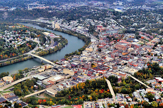
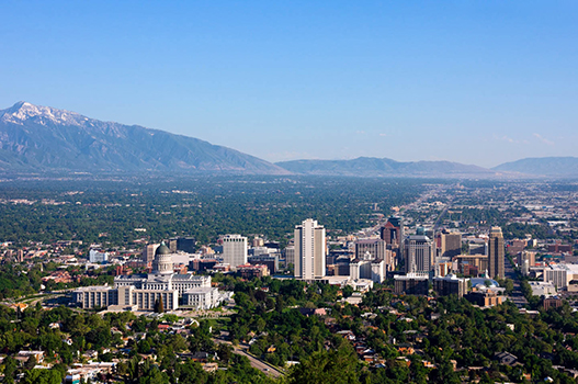
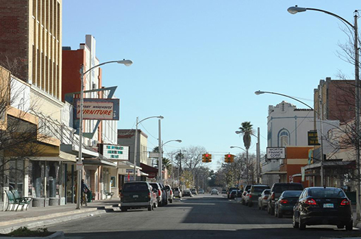
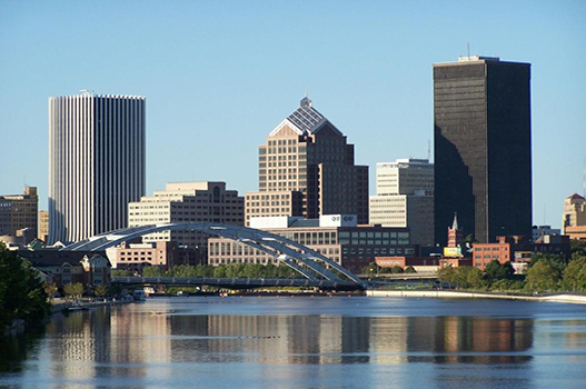
Visalia is a city in the agricultural San Joaquin Valley of California. The population was 141,384 as per the 2020 census. Visalia is the fifth-most populous city in the San Joaquin Valley, the 38th most populous in California, and 183rd in the United States. As the county seat of Tulare County, Visalia serves as the economic and governmental center to one of the most productive agricultural counties in the country.
Places to visit in Visalia
-

Sequoia National Park
Nature · 33 mi from centreAbout an hour east, this park protects groves of giant sequoias including the General Sherman Tree, along with granite domes such as Moro Rock and miles of mountain trails.
-
Mooney Grove Park
ParkA large park with old oak trees, a pond with paddle boats and the Tulare County Museum, home to the famous End of the Trail statue.
-
Kaweah Oaks Preserve
NatureA nature preserve east of town protecting one of the last stands of valley oak riparian forest in the region, with easy trails that are good for birdwatching and spotting wildlife.
-
Downtown Visalia
NeighborhoodA walkable downtown with restaurants, shops and the restored Fox Theatre, often used as a comfortable base for day trips into the Sierra Nevada and the national parks.
Best time to visit Visalia
Based on recent weather records, the most comfortable time to visit Visalia is April and October, when average daytime highs are around 74–82°F and rain falls on about 4 days a month.
Average daily low and high temperatures and days with at least 1 mm of rain, from recent weather records. Highlighted months are the most comfortable for sightseeing.
Visalia weather forecast
- Wed 21 Oct 72° 54° 40%
- Thu 22 Oct 71° 55° 71%
- Fri 23 Oct 74° 51° 5%
- Sat 24 Oct 80° 52° 0%
- Sun 25 Oct 83° 54° 1%
- Mon 26 Oct 84° 58° 3%
Know before you go
- Currency
- United States dollar (USD)
- Language
- English
- Calling code
- +1
- Driving
- On the right
- Time zone
- America/Los_AngelesUTC−7
- Capital
- Washington, D.C.
Upcoming public holidays in United States
- Veterans Day
- Thanksgiving Day
- Christmas Day
- New Year's Day
- Martin Luther King, Jr. Day
- Presidents DayWashington's Birthday
Banks, offices and some attractions may close on public holidays, and flights and hotels often fill up early around them.
Getting to Visalia
These are the airports closest to central Visalia. Compare fares into each one, as a slightly longer transfer can sometimes mean a much cheaper flight.
- VIS Visalia Municipal Airport6 mi (9 km) from the city centre
Getting around Visalia
Highway 198 cuts straight through the middle of the city going east to west. It provides an easy route to downtown as well as to Sequoia National Park and Kaweah Lake.
By bus
Visalia Transit.mw-parser-output .error-deadlink{color:red;background:yellow;display:none;white-space:nowrap}[dead link] offers bus service.
Visalia travel FAQ
When is the best time to visit Visalia?
Based on recent weather records, the most comfortable time to visit Visalia is April and October, when average daytime highs are around 74–82°F and rain falls on about 4 days a month.
What is the weather like in Visalia?
July is usually the warmest month in Visalia, with average highs of 105°F (41°C). December is the coolest, with average lows of 42°F (6°C). The wettest month is typically February, with about 153 mm of rain.
Which airport is closest to Visalia?
Visalia Municipal Airport (VIS) is the closest airport, about 6 miles (9 km) from the centre of Visalia.
What time zone is Visalia in?
Visalia uses the America/Los_Angeles time zone (currently UTC−7). Remember to check for daylight saving changes when planning connecting flights.
How do I get around Visalia?
Highway 198 cuts straight through the middle of the city going east to west. It provides an easy route to downtown as well as to Sequoia National Park and Kaweah Lake.
What are the best places to visit in Visalia?
Top sights in Visalia include Sequoia National Park, Mooney Grove Park, Kaweah Oaks Preserve and Downtown Visalia. About an hour east, this park protects groves of giant sequoias including the General Sherman Tree, along with granite domes such as Moro Rock and miles of mountain trails.